
Gill-T
-
Posts
7,287 -
Joined
-
Last visited
Everything posted by Gill-T
-

salmon education
Gill-T replied to Chinook Chaser's topic in Questions About Trout & Salmon Trolling?
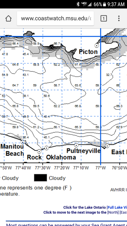 That surface temp map is probably the least accurate one available. It uses satellite image to measure heat signature that is why it appears black whenever cloud cover exists. When you get a cloudless day and an accurate picture look for an area where the temp gradient lines are close together denoting a temp break. Fishing Bass, logs and rocks represent structure. When fishing pelagics, water temp and currents are our structure.
 -
Olcott
Gill-T replied to Decoy Hound's topic in New York Fishing Reports - Lake Ontario (South Shore)
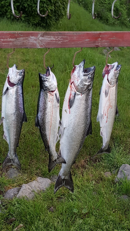
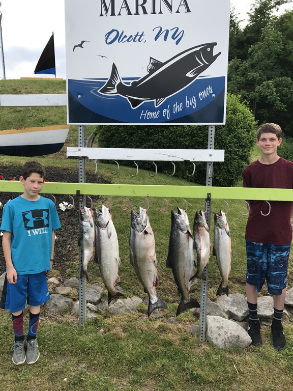 Agreed on the facilities. For a town that doesn't have a gas station, they understand why people visit the area and put emphasis on the right things. Still running your deep meat program?
 -
It will take you 30 minutes at idle speed to get to pier heads this year.
-
 Near the Canadian border. Set down in 400' and troll North is usually how I do it. With East winds around I will stop at say 325' and troll North.
 -
I would fish the water from 4 mile to the bar. The warmer water is getting pushed there. The other option would be the fence off shore out of Wilson or Olcott https://www.glerl.noaa.gov//res/glcfs/glcfs.php?lake=o&ext=vwt&type=N&hr=00
-
Don't forget your.....lucky nickel, lucky rabbit's foot, lucky horseshoe, lucky hat, lucky fish pole, lucky lure etc etc
-
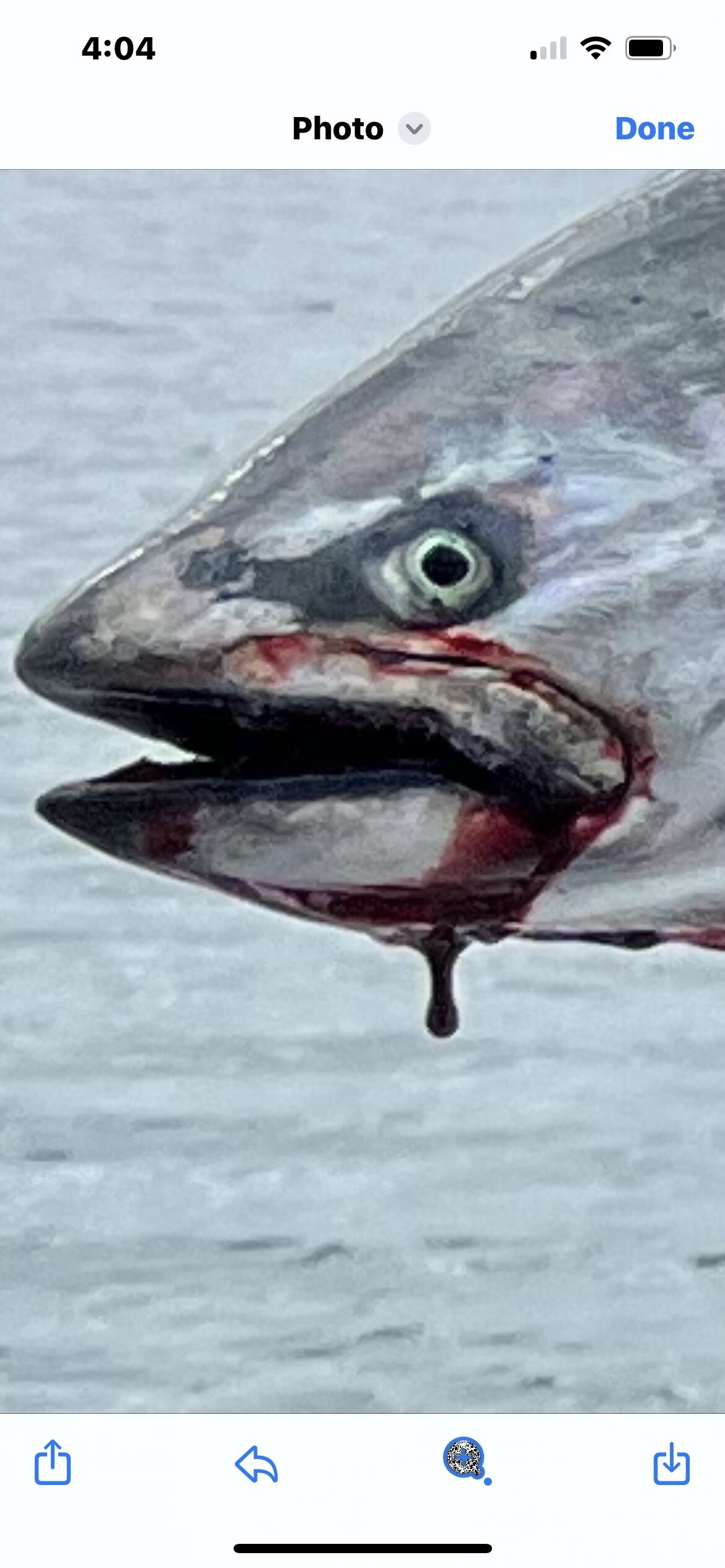
I have taken a Lake Trout on a four color the last three outings. We are stuck in this stupid weather pattern.
-
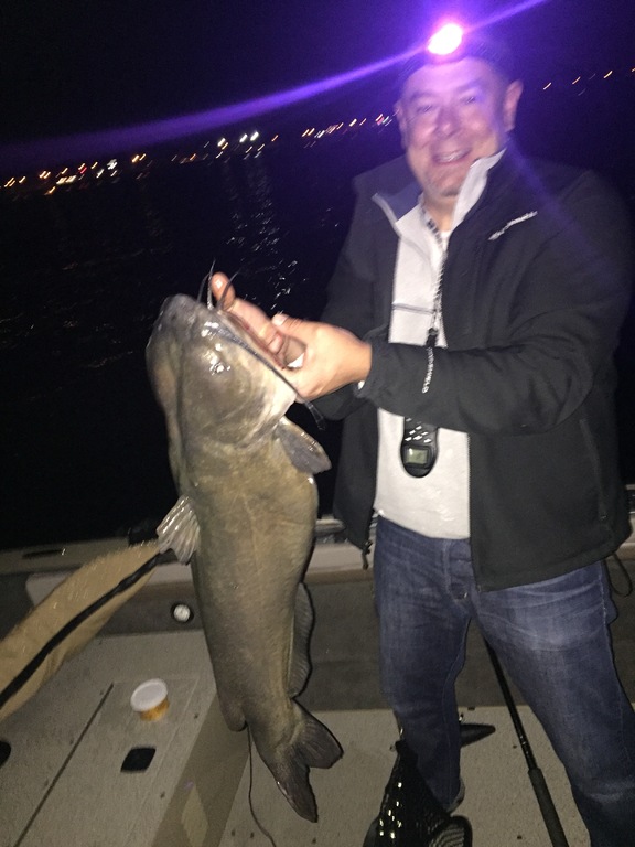 Gobies have made this a fishery. The Cattaurgus has a good run. In the summer. Off the Catt, you can catch huge ones off the little shale humps in like 48'.
 -
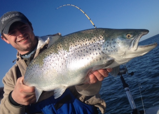
Spring time. Spoons. Upper water column. Inside 100' fow. Always accidentally caught.
-
 I will be out midday. I am lazy.
 -
https://www.glerl.noaa.gov//res/glcfs/glcfs.php?lake=o&ext=sfcur&type=F&hr=03 One chart I look at is the surface currents directions (recorded 30' down by buoys). When arrows point towards shore.......fish closer. When arrows point out.......fish offshore. These will not give you the spot within the spot but will give you macro-direction that help me decide how much gas to burn.
-
I have not heard an accurate site specific reading up-lake yet. The Olcott pier typically has a least 5' reveal to water level .........now the water is to the top. Hard to find your way back to port!
-
Advice for shallow/ less deep fishing needed
Gill-T replied to geezer's topic in Questions About Trout & Salmon Trolling?
Not many fishing browns right now. Fish 7' - 50' and you will find them. Use boards, leadcore, split shot ahead of flat lines, small dipsys, downriggers. Small spoons should do the trick but sticks could work also. -
This is man-made. There are Lakes and impoundments all over the southern tier that artificially drop water levels in the fall to prepare for the increase water levels of spring. Lime Lake in Machias where I grew up fishing has a 2x6 at the outflow end of the lake that gets lifted in the fall. We had droughts in recent years past so this is the first year to truly show the effects.
-
With the rain we have had the creeks in Allegany State Park should be perfect.
-
Based on Arney's marina owner's observations, he noted water was rising in December. I used my snowblower twice this year in Buffalo so I doubt the unusual rise in water was from snow pack melt.
-
The water has no where to go as the water levrel behind the locks is high. Too late for this year. They traditionally let it out over winter to drop lake levels. We are getting a good dose of what would happen if global warming rose sea levels.
-
Henderson Silver
Gill-T replied to FleetTracker's topic in New York Fishing Reports - Lake Ontario (South Shore)
Figured the East end was due for good reports. You guys have surface temps two degrees warmer than the rest of the lake and all the down current arrows have been pointing your direction. Nice haul. -
Definitely an experiment gone horribly wrong. Towns are going to loose millions.
-
Always lots of room at Olcott. Just punking Vince. His giant vessel is like a giant beacon to point your boat towards hehe.
-
Yes...... everyone follow Vince. He loves company.
-
Tournament Organizers Micromanagement Minute: In lieu of all the "no wake" restrictions on most bays around marina ports, I would think extra time for anglers to get to the scales would be in order this year. Also extra time from when you can leave the dock and when you can start fishing.
-
 Tuf-line micro lead. I just use a fat black magic marker to down-color it.
 -
2017 Healing Waters Salmon Slam July 29th
Gill-T replied to TOP SECRET's topic in Tournament Talk, Shows, Events & Seminars
 One more under Friday event.
 -
2017 Healing Waters Salmon Slam July 29th
Gill-T replied to TOP SECRET's topic in Tournament Talk, Shows, Events & Seminars
Is that a typo on the dates under tournament timeline? Thanks Nick.