-
Posts
2,483 -
Joined
-
Last visited
Content Type
Profiles
Forums
Events
Gallery
Store
Everything posted by Todd in NY
-

For Trade Navionics+ Map Card For Lakemaster NE Card
Todd in NY replied to Todd in NY's topic in Classifieds - Buy, Sell, Trade or Rent
-

For Trade Navionics+ Map Card For Lakemaster NE Card
Todd in NY posted a topic in Classifieds - Buy, Sell, Trade or Rent
I bought this Navionics+ Regions East map card last summer. I never use it because I prefer my Lakemaster card. It works as it should, and maybe my old Gen 2 HDS8 is the reason it doesn't show the detail that my Lakemaster card shows. So, I'm looking to trade my Navionics Map card for a Lakemaster Northeast card. My Navionics card is a mini SD card inside a standard SD card adapter. It comes in the original hard case with a Navionics thumb drive. I've never used the thumb drive so I don't know what is on it. I last updated the card in June. I'm located in the Watertown, NY area and I prefer a face to face trade. -
-
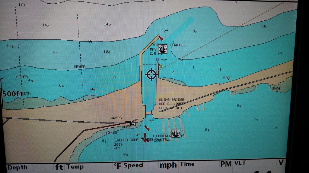
Has anyone used these digital map cards in their fish finder units? I run a Humminbird 1198 with the Lake Master card, and an HDS8 with a Navionics + Regions East card in my boat. I find myself never using the Navionics card because I prefer the Lake Master card. Just looking for feedback on the Fishing Hotspots digital map card for the Great Lakes, if anyone on LOU has any experience with them.
-
Thanks, that's what I was thinking. I was told that the map card had to be from 2005 or older.
-
Before you buy a Navionics+ Regions East card, try one in your unit first. I have one in my HDS8 that you are welcome to try. I'll PM you my cell number.
-
-
-
-
-

Boat Re-wired & Other Repairs, Before & After
Todd in NY replied to Todd in NY's topic in This Old Boat
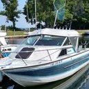
I just wanted to revisit this thread to see if I need to add any updates I added a 25 watt solar panel kit from harbor freight. I mounted it on my hardtop, with a full size piece of 1/4" thick rubber stall mat under it. It works great and keeps my batteries charged while it's in the slip. I'll add another 25 watt panel on the other side of the hardtop next spring. I also added a long shaft 1991 Evinrude 15hp 2 stroke kicker with electric start, pull start, and charging system. It's a tiller steer without controls, but I added a throttle friction lock that keeps me at the speed I set it at. My fish finder/GPS units are a Humminbird 1198c SI/DI/GPS and a Lowrance HDS8 GEN 2 Non-Touch unit. Everything works and functions perfectly! -
Yep, the south shore and the northeast shore (US side) are two completely different fisheries. This summer proved that beyond a doubt. I'm glad you guys on the south shore had a great year.
-
Mud Bay is a long boat ride from salmon territory.
-
Oh wait... maybe the worst walleye fishing in many years...
-
That's great news, but it didn't seem like a record breaking season for those of us fishing out of the Henderson area.
-
-
-
-
-
-
-
-
-
No problem Lucky13. I know people were talking about Lake O flooding due to the higher levels on Lake Superior. That is almost as ridiculous as the petroleum companies raising gas prices because there's a hurricane somewhere in the Atlantic that "could" impact oil production in the Gulf of Mexico. I hope the IJC didn't jump the gun and increase outflows due to that far fetched possibility of Lake Superior causing Lake O to flood. I'm with Silver Fox on the numbers and average lake levels. I've seen my marina, and heard of other local Marina's, have their water levels rise 3'+ in a matter of hours with a strong SW wind. It happened this year, the day before walleye season opened. It left boats sitting on top of the docks. It's too hard to believe those scientific numbers when I see so many factors that dictate water levels. That strong wind in early May raised our water level faster than a high tide. I'll admit that I'm not "smart" enough for science, so I just have to believe what I can see with my own eyes.
-
Lucky13, I'm going by the FACT that my gunwale was at least 6" above my dock on Aug 2nd, 2018, and now my gunwale is almost even with the height of the dock. You can talk all those scientific numbers until you are blue in the face, but I'm going by what I see. I'm not blaming Plan 2014 or the IJC, I was merely referring to the continuously lower lake levels this year. My opinion about the cause is that we had a drought that was worse than what's being reported. We've also had a hot summer, and it seems like there is more water evaporating than what is being replaced by rain. That's my non-scientific observation. Zebra mussels are reportedly drinking and storing more water, and so are the gobies, in a coordinated effort to deprive Lake Ontario fishermen of better access to the lake. All of the lake's invasive species are being controlled by electric magnetic pulses from Chinese and Russian satellites. It's a major top secret conspiracy that (oh crap) I just blew the cover on... What just happened...? Must be those EMP satellites


